

The technology behind evidence a jury can actually see.
FARO 3D scanning, drone photogrammetry, and vehicle data extraction that turn physical evidence into evidence a jury can actually see.
The technology and specialized methods behind our investigations—including drone aerial photogrammetry, Leica and FARO 3D laser scanning, mobile LiDAR, EDR black box downloads, and physics-based computer simulation—that turn perishable physical evidence into clear, objective visuals a jury can evaluate.
Why it matters: A jury doesn't have to imagine a scene from a written description when they can see an accurate 3D model of it. These tools also help preserve perishable evidence, vehicle data, and scene conditions before they're lost, and the sooner we're on scene, the more of that evidence survives.
Black box downloads via the Bosch Crash Data Retrieval system, supporting nearly every major vehicle manufacturer, plus Electronic Control Module downloads from heavy equipment engines (Caterpillar, Cummins, Detroit Diesel, International, Mack, Mercedes, Paccar, Volvo).
For site and vehicle capture, we deploy Leica and FARO 3D laser scanners, mobile field scanning via Recon 3D and Pix4D Catch on iPad/iPhone, and drone photogrammetry processed through Pix4D to produce high-resolution, scaled 3D point clouds and aerial orthomosaics for PC-Crash and HVE simulations.
Additional specialized tools include electronic total stations for precise scene mapping, precision slip meters (English XL, Brungraber Mark II and III, BOT-3000E), and calibrated illuminance and luminance meters to measure actual night lighting and contrast conditions.
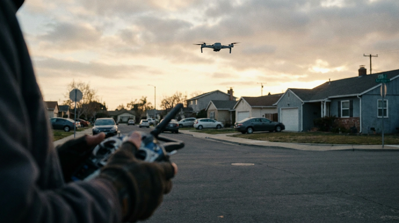
Drone Surveying
Using a drone to conduct site surveys is an excellent method of obtaining site feature locations, measurements, and evidence locations. We fly our drone over an accident site and capture extensive high-resolution aerial photography. We then import the photos into Pix4D photogrammetric software, stitching them together to generate an accurate 3D site model scaled with known ground reference points. From this model, the software creates very high-resolution, scaled aerial orthomosaics that integrate directly into our accident reconstruction software for realistic simulations and animations.
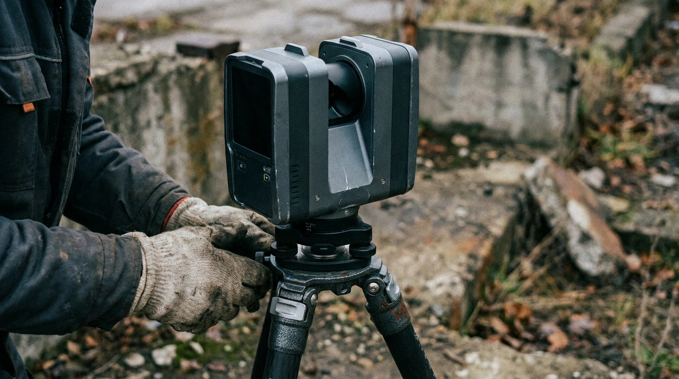
Vehicle and Site Scanning
We use high-precision 3D terrestrial laser scanners manufactured by Leica and FARO to scan vehicles and accident sites with millimeter accuracy. Additionally, we utilize Recon 3D and Pix4D Catch mobile photogrammetry tools to perform detailed vehicle and scene scans on an iPhone or iPad in the field. These scans are converted into comprehensive point clouds and imported into our reconstruction software to verify crush profiles, impact angles, and line-of-sight conditions.
Have a question about this service? Call 925.447.6495 or send us a note through our contact page, and we will get back to you.